As India’s influence grows in the Indo-Pacific and beyond, space has emerged as a potent springboard, propelling its aspirations with unimaginable speed. At the heart of this celestial ascent lies NavIC, India’s indigenous satellite navigation system. Albeit a small one, it will place India alongside the United States (US) (GPS), Europe (Galileo), Russia (GLONASS), and China (Beidou). With the imminent arrival of NavIC 2.0, India will achieve global navigation dominance, by graduating from the extant regional navigation satellite system.
Considerations: NavIC 2.0
NavIC currently comprises a constellation of 10 satellites (nine satellites IRNSS-1A to IRNSS 1I and the latest launched NVS-01 as the tenth satellite), with only five currently operational, positioned in geostationary and geosynchronous orbits. This indigenous system provides precise, dependable, and secure Positioning, Navigation, and Timing (PNT) services within India and its neighbouring region, spanning up to 1500 km from its borders.
The constellation was intended for strategic services to ensure self-reliance in times of need whereas, the civilian services were spin-off accrued out of the same space and ground segment infrastructure.
The genesis of the Indian Regional Navigation Satellite System (IRNSS) can be traced back to 1999; however, it was during the Kargil conflict that the strategic necessity for an independent satellite navigation system became apparent. Primarily, the constellation was intended for strategic services to ensure self-reliance in times of need whereas, the civilian services were spin-off accrued out of the same space and ground segment infrastructure. It offers two distinct applications: Standard Positioning Services (SPS) for civilian purposes and Restricted Services (RS) for strategic functions. Since the launch of its first satellite, IRNSS 1A on 1 July 2013 till the launch of the last first generation satellite IRNSS-1I on 12 April 2018, NavIC has been operating on L5 and S frequency bands and the foreign-origin rubidium atomic clocks which were sourced from Israel.
The constellation comprising the first generation series suffered inherent drawbacks in terms of signal penetration, range, infrastructural and design compatibility, cost-effectiveness, interoperability and stability of precise clock timing—three out of seven atomic clocks had failed by 2022. These challenges led to sub-optimal use of the constellation for about a decade till the launch of NVS-01, without any significantly visible reappraisal, which finally gave rise to a strategic shift in approach to sustain, expand, and develop NavIC in a whole new avatar.
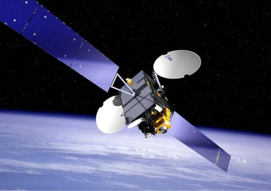
The recent launch of the first of second generation satellite NVS-01, also known as IRNSS-1J and the 10th satellite of the IRNSS constellation, marks a significant advancement. It introduces the L1 frequency band for civil mobile usage, enhancing the capabilities of the NavIC system. The NVS-01 satellite incorporates a state-of-the-art atomic clock, developed indigenously to replace the previous Israeli rubidium clock. Alongside improved encryption systems, this satellite ensures superior accuracy, enhanced signal resilience, and optimal performance in challenging environments like urban canyons and dense foliage.
Strategic self-sustenance
Presently, NavIC functions with only five fully operational satellites (including the recently launched NVS-01) to provide the bare minimum navigation signal in the service area. In 2024, IRNSS-1B and 1C are likely to complete their designed lifespan thereby creating a criticality for immediate replacement launches. Thus, the replacement cycle continues to barely sustain the constellation of satellites which provide essential signals with moderate accuracy.
It is to be understood in totality that a fully functional constellation with designed 11 satellites enhances the accuracy and seamless data flow within the limited service region but, expansion of the coverage area to achieve global access is highly inevitable for military operations.
The essence of introducing NavIC 2.0 is to graduate from the current state of sustenance flux to an overarching effective global strategic PNT solution. Therefore, it is to be understood in totality that a fully functional constellation with designed 11 satellites enhances the accuracy and seamless data flow within the limited service region but, expansion of the coverage area to achieve global access is highly inevitable for military operations. If not today, probably in half a decade, we would be stranded at the current operational crossroads once again, trying to stitch previous gaps. Strengthening the traditional practice of simply maintaining the constellation, which was primarily for technical demonstration purposes at the time of launch, may not be a wise strategy for achieving operational success.
With India emerging as a global power, the need for the expansion of indigenous PNT services across the planet has become a mandatory requirement, especially for disaster management and Out of Area Contingency operations (OOAC). Shift from a regional navigation system to a global constellation must be undertaken in a phased manner incorporating an ideal and unique homogenous mix of two satellite fleets in Geosynchronous Orbit (GSO) or Geostationary Orbit (GEO) and Medium Earth Orbit (MEO) to substantiate accuracy in the primary area and assured secured strategic services all across the globe. Deployment of the comprehensive global constellation may not only be technically challenging but would also take a few years to consolidate. Meanwhile, our blueprints need to be put in place straight away.
NavIC 2.0 combination constellation with GSO and MEO satellite layers serve far better, in terms of wider coverage, flexibility, scalability, and resilience. The proposed MEO fleet provides seamless PNT coverage around the planet along with the ability to repurpose it for Earth surveillance whereas, the GSO fleet provides integrated features for military applications other than the dedicated and improved PNT coverage over the Indian subcontinent. Towards optimal utilisation of the futuristic GSO navigation fleet of NavIC as a force-multiplier to accomplish desired military advantage other than the primary PNT services, the platform provides an ideal base for compound payloads for various strategic applications vis-à-vis persistent surveillance over the area of interest, space situational awareness (SSA ), telemetry, tracking and commanding (TT&C ), broadcast messaging services, tracking and data relay satellite system (TDRSS) and inter-satellite link (ISL). These applications would provide a strong boost to the military capabilities in terms of surveillance, communications, and command and control.
The proposed MEO fleet provides seamless PNT coverage around the planet along with the ability to repurpose it for Earth surveillance whereas, the GSO fleet provides integrated features for military applications other than the dedicated and improved PNT coverage over the Indian subcontinent.
To acquire strategic self-sustenance in PNT services, expansion of the ground segment with an appropriate fusion of technology in terms of automation, Artificial Intelligence (AI) and Machine Learning (ML) to revive a robust and fully secure user segment, is mandatory. All military platforms where there is a need for PNT services either for navigation, targeting, orientation, compatibility, positioning, referencing and other allied applications, must be identified and integrated with the secure indigenous NavIC user RS modules. Military equipment where open-source GPS is in use presently needs to be replaced with the NavIC RS modules ensuring an extensive and comprehensive user base. NavIC once fully deployed and operational provides an ideal secure communication backbone for futuristic C4ISR systems.
Strategic roadmap: NavIC 2.0
To make up for the lost time, India must prepare the synchronised blueprint for space, ground, and user segments with enhanced global coverage features of NavIC 2.0. The enhanced applications of NavIC 2.0 will not only provide an edge to the military utility of NavIC 2.0 but also establish India commercially at par with the global major four—the US, China, Russia, and Europe. The actions must commence on various strategic facets as discussed, to ensure the usage of global NavIC services by 2028.
- Space segment: Replacement of the extant satellites owing to ageing and malfunctioning is desired by 2025 and the launch of an additional 12 satellites in MEO by 2028 (to be enhanced subsequently to 24 or more by 2035). Responsibility should be assigned to the Headquarters of the Integrated Defence Staff (HQ IDS) for defence usage planning and New Space India Limited (NSIL)/ ISRO/ private space sector in conjunction with DRDO for execution.
- Ground segment and functional units: A high-speed secure and tailor-made network for strategic control centres, timing facilities, integrity monitoring stations and two-way ranging stations needs to be evolved alongside the space segment by 2025. Standardised military grade fully secure user modules specific to the service/ organisation must be evolved and put in use before the expansion of the constellation.
- Services: Other than the vital one-way position, navigation, timing and targeting services provided by NavIC, messaging broadcast services and two-way transmission are essential to fully exploit the indigenous constellation for national security.
The innate strategic considerations for reinforcing space and ground segments for security applications have given rise to a much-needed proactive shaping of NavIC 2.0.
Conclusion
NavIC 2.0 represents a paradigm shift, propelling India from regional navigation to a global one. The innate strategic considerations for reinforcing space and ground segments for security applications have given rise to a much-needed proactive shaping of NavIC 2.0. The strategic roadmap outlined ensures the evolution of NavIC 2.0 with enhanced features, global coverage, and military precision. As India prepares to replace old satellites, launch new ones, and develop a robust ground segment, NavIC 2.0 is poised to secure India's place among global majors in PNT services. This strategic initiative not only fortifies India's defence capabilities but also places it commercially at par with leading nations in global satellite navigation. The journey from NavIC to NavIC 2.0 is a testament to India's commitment to technological advancement and self-reliance in the realm of national space security.
Colonel Balak Singh Verma, VSM, is an Army Air Defence officer, commissioned into a Schilka regiment in 1997 from IMA. He is presently undergoing a Research Fellowship in the space domain with the Observer Research Foundation.
The views expressed above belong to the author(s). ORF research and analyses now available on Telegram! Click here to access our curated content — blogs, longforms and interviews.